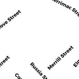
219-221 MERRIMAC ST
Owner Information
TILLY MARCIA M L/I
219 MERRIMAC ST
NEWBURYPORT, MA 01950


Property Details
219-221 MERRIMAC ST is classified as a Two-Family Residential (Family duplex).
The primary structure on this property was built in 1850. There are 4,710ft2 of built area within this property. There is 2,055ft2 of residential/living space within this property. This property is listed as having 100 rooms.
219-221 MERRIMAC ST is valued at $615,400. The land is valued at $313,600 and the structures are valued at $301,800.
This property is in Zone R3. Confirm with local Zoning Board authorities to ensure there are no overlays or other easements on this property.
The most recent deed for 219-221 MERRIMAC ST is recorded at the local registrar in Book 32192, Page 443. 219-221 MERRIMAC ST was last sold on Friday, February 8, 2013 for $0.
Assessment data from fiscal year 2021.
Flood Data
According to the FEMA National Flood Hazard Layer, this property does not appear to be in a flood zone. It may also be in an area not yet reviewed. Nonetheless, confirm this information prior to taking any action.
To view the flood hazards around this property, create a FEMA "Firmette" Map of the area around 219-221 MERRIMAC ST.
Broadband Internet Providers
| Provider | Type | Bandwidth (mbps) | |
|---|---|---|---|
| T-Mobile | Fixed Wireless | 25 | 3 |
| VSAT Systems, LLC. | Satellite | 2 | 1 |
| Viasat Inc | Satellite | 100 | 3 |
| GCI Communication Corp. | Satellite | 0 | 0 |
| Verizon New England Inc. | DSL | 10 | 1 |
| HughesNet | Satellite | 25 | 3 |
| Comcast | Cable | 1000 | 35 |
Broadband service provider data from December 2020.
Adjacent Properties
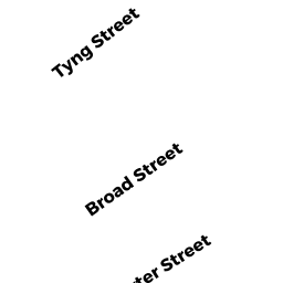
- 3 BROAD ST
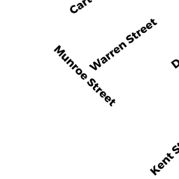
Single Family Residential owned by COWLES TIMOTHY J & CARLA M T/E - 6 CARTER ST
Single Family Residential owned by STEPHAN LESLIE M - 4 CARTER ST
Single Family Residential owned by KENNEDY DENIS J - 223 MERRIMAC ST
Single Family Residential owned by HLADIK GEOFFREY A - 1 BROAD ST
Single Family Residential owned by HAGEN WILLIAM H JR - 217 MERRIMAC ST
Other, Open Space owned by CONDO MAIN - 217 MERRIMAC ST UNIT 1
CONDO MDL-05 owned by CAPOLUPO TAYLOR K - 217 MERRIMAC ST UNIT 2
CONDO MDL-05 owned by KRISTOF GREGORY